Explore the World of Geographic Information Systems (GIS) Seminar on GIS-day: A Day of Mapping Discoveries
Are you fascinated by the art of mapping, intrigued by geographical data, or curious about how technology is transforming our understanding of the world around us? If so, mark your calendar for November 28th, 2023, as the Aarhus University presents an enlightening seminar.

You can delve into the captivating realm of Geographic Information Systems (GIS) with AU (Aarhus University) presenters from Geoscience, History and Classical Studies, Health, Biology, Archeology and many more. For AU-staff participation is free of charge, while external guests have to pay a fee of 375 DKK for participation. You can register here.
Details:
Date: 28 November 2023
Time: 9.30-16.00
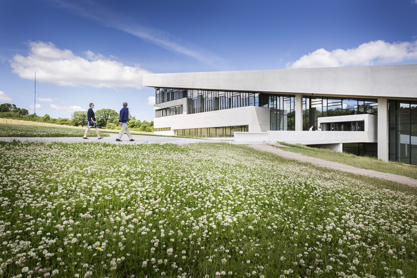
Venue: Moesgaard Museum, 4240-020 Moesgaard Auditorium - Moesgård Allé 15, 8270 Højbjerg
Program
9:30 - Registration and Coffee
10:00 - Welcome to the Seminar
10:15 – Three talks on GIS
Historic maps as a source for geohydrological reconstruction of the pre-industrial landscape: a methodological study - Dive into the past as Jens Bjørn Riis Andresen from Department of Archeology and Søren Munch Kristiansen from Department of Geoscience take you through a methodological study that uses historic maps to reconstruct geohydrological features of pre-industrial landscapes.
Mapping the accessibility of civil defences in Cold-War Aarhus - Explore the Cold-War history of Aarhus with Adéla Sobotkova from Department of History and Classical Studies, who will showcase how GIS is used to map the accessibility of civil defences.
Wandering the streets of Pompeii – a Classicist approach to GIS-based methodologies - Discover the streets of Pompeii like never before as Laura Helena Nissin from Aarhus Institute of Advanced Studies, sheds light on GIS-based methodologies for an immersive historical experience.
11:15 - Short Break
11:30 – Three talks on GIS
Mapping the impacts of little auks (Alle alle) on terrestrial ecosystems in Thule, NW Greenland - Join Kasper Lambert Johansen from Department of Ecosciences,as he unveils the impact of little auks on terrestrial ecosystems in Thule using spatial mapping techniques.
Spatial mapping a century of ecological change in NE Greenland using repeat historical imagery - Witness a century of ecological change in NE Greenland as Jeffrey Taylor Kerby from Department of Biology, will guide you through the use of repeat historical imagery.
DISCO-2 – Artic climate research with a student Cubesat - Explore Arctic climate research with Andreas Kjær Dideriksen from Department of Biology, who will introduce the DISCO-2 satellite.
12:30 - Lunch
13:15 - Three talks on GIS
Mapping trees and biodiversity in the University Park - Eva Holdgaard Jensen Flensborg from AU Estates will take you through the process of mapping trees and biodiversity in the AU University Park.
On the use of GIS for air pollution and noise assessment in Denmark - Delve into the realm of air pollution and noise assessment in Denmark with Jibran Khan from Department of Environmental Science, as he discusses the pivotal role of GIS.
Statistics and maps of Danish Agriculture in the 19th century – appetizers of historical research - Explore a glimpse into agricultural history with Nele Lohrum, as she presents statistics and maps of Danish Agriculture in the 19th century.
14:15 PM - Coffee Break
14:35 PM -Three talks on GIS
Unveiling the soil microbial diversity in Denmark - Discover the first attempts at mapping Denmark's soil microbial diversity with Sebastian Gutierres and Mogens Humlekrog Greve from the Department of Agroecology.
Dynamic landscapes simulated for multiple species and organisms within individual-based modelling across Europe - Embark on a journey of dynamic landscapes and species simulations with Jordan Chetcuti and Geoff Groom from the Department of Ecoscience, who will guide you through Individual-based modelling across Europe.
Estimation of pesticide application in buffer zones around Danish addresses - Uncover the estimation of pesticide application in buffer zones around Danish addresses with Jörg Schullehner – Department of Public Health, as he showcases the intersection of GIS and environmental health.
15:35 PM - Wrap up and Finding the Winner
Reflect on the day's insights as we wrap up the seminar and announce the winner of a special challenge.
16:00 PM - End of Seminar
Join us for an unforgettable GIS seminar
Whether you're a GIS enthusiast, a mapping aficionado, or simply curious about the world of geographic information systems you will be sure to gain a lot of new knowledge from this seminar. From historic maps to modern ecological studies, from the streets of Pompeii to the soil of Denmark, join us on November 28th for a day of mapping knowledge at Moesgaard Museum.
